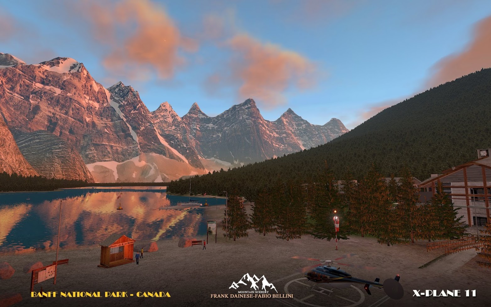
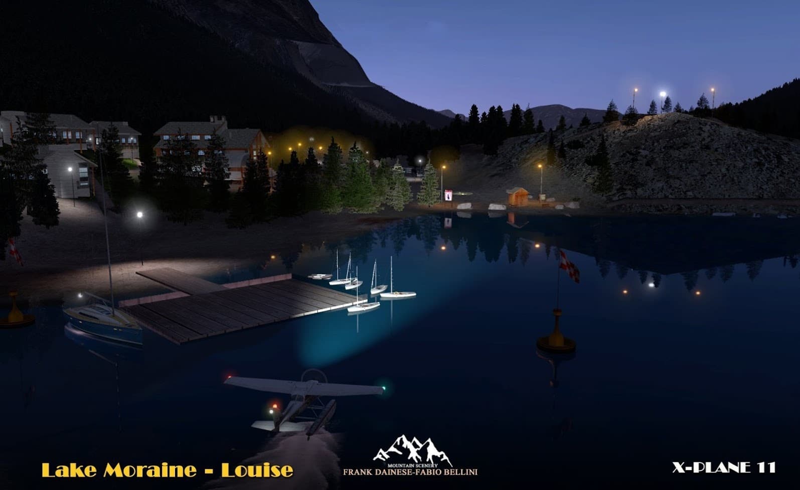
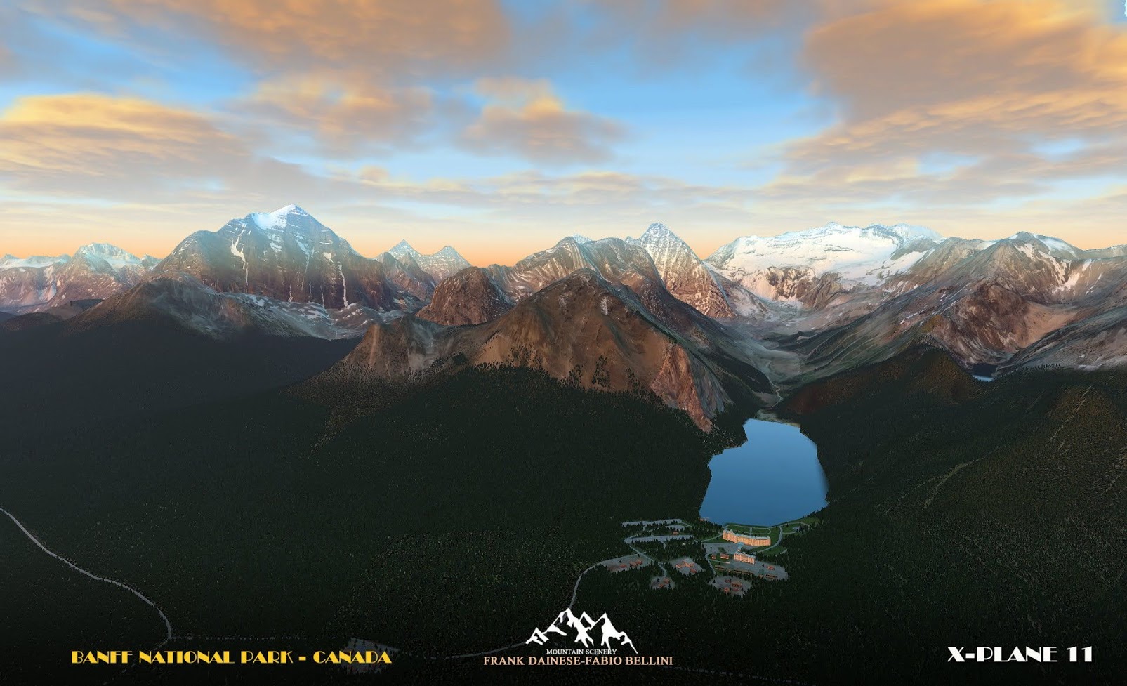
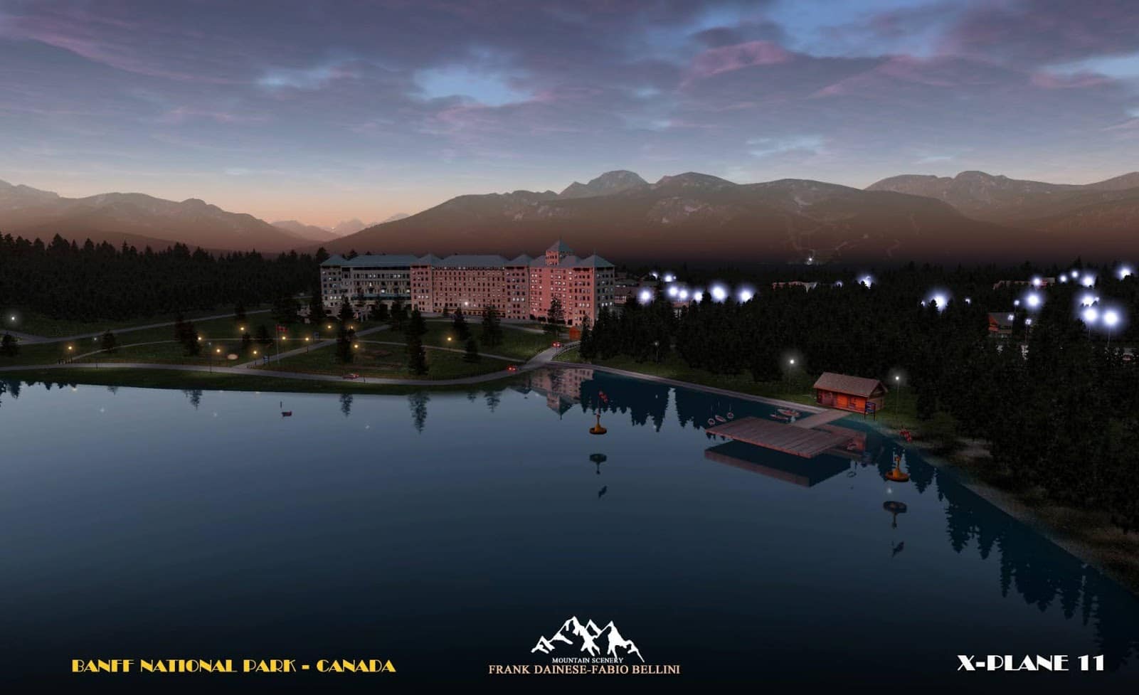
Pittoresk mögen es wohl Frank Dainese und Fabio Bellini. Das Duo hat jetzt für X-Plane eine Umsetzung des kanadischen Banff-Nationalpark für X-Plane veröffentlicht. Vor allem Nutzerinnen und Nutzer von Helikoptern und Wasserflugzeugen sollen bei dieser Szenerie auf ihre Kosten kommen, wenn sie zwischen den Mouraine- und Louis-Seen hin- und herfliegen und ein 800 Quadratkilometer großes Gebiet erkunden. Je zwei Landeplätze stellen die Entwickler dafür bereit. Die Szenerie gibt es im X-Plane.org-Store jetzt für circa 23 Dollar. Der Banff-Nationalpark ist der erste Nationalpark Kanadas und befindet sich im Westen im Einzugsgebiet von Calgary.
Features:
- Covers over 800 sq km.
- included in the degree + 51 ° -117 °.
- From the valley of ten peaks, Lake Moraine to Lake Louise with the near village.
- The whole territory was reconstructed on a photographic basis.
- The tourist areas of the lakes are reproduced with typical buildings, hotels, residences …
- All the vegetation has been mapped and faithfully reproduced in 3D.
- 2 “water runways” have been prepared for the flight from lake to lake with seaplanes.
- 2 heliports at the respective tourist sites.
- Reconstructed with 3D models the mountain groups with 4K textures processed from photos.
- Ten peaks and the homonymous valley, Mont Temple, Mont Lefroy, Mont Hungabee, Moraine lake, Louise Lake…
- This scenery is only suitable for VFR flight, only with a „visual flight“.
- ICAO codes: LCLLW (Lake_Louise Canada) LCLM (Lake_Moraine Canada) HLML (Helipad Lake Moraine) XCYCHLL (Hlipad – village near Lake Louise


